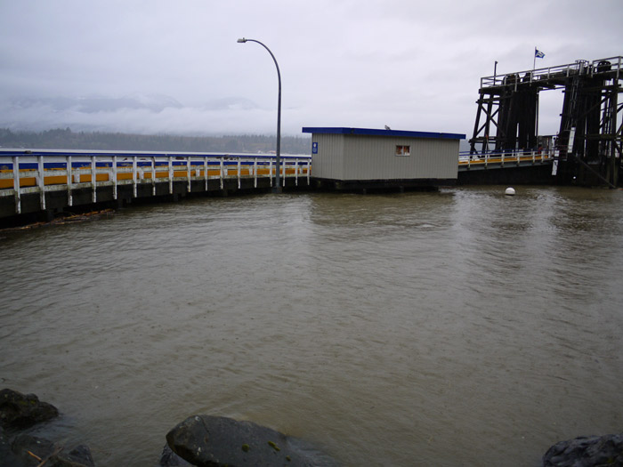
Between Dec 5th and 10th the highest tides of the year (King Tides) will occur.
- Contribute to a photo record of what’s happening on Denman’s shores.
- Take Shoreline Photos between Dec 5 and 10
- Send your best photo(s) and where they were taken to dikingtides@gmail.com (also date and time if possible)
- Include your name if you want photo credit.

| 2017 | December High Tides | |
| Date | Time | Height m |
| 5 | 7:28 AM | 5.0 |
| 6 | 8:18 AM | 5.1 |
| 7 | 9:07 AM | 5.1 |
| 8 | 9:57 AM | 5.1 |
| 9 | 10:48 AM | 5.0 |
| 10 | 11:39 AM | 4.9 |
The record of the Denman Island 2017 King Tides as map and photos will be available for viewing by Dec 30th on:
Association for Denman Island Marine Stewards at
Association for Denman Island Marine Stewards Facebook page
View historic King tides photos on Denman Conservancy website: https://www.denmanconservancy.org/denman-nature/king-tides
Also Komas Bluffs 2014: http://www.facebook.com/video/video.php?v=10204080138639245
‘King’ tides is ‘jargon’ for the highest tides of the year. When combined with winter storm surges, King tides can lead to flooding, debris piles or shoreline-erosion along the coast. King tides occur due to a combination of the moon and sun being on the same side of our planet, as well as the moon being at the closet point in its eliptical orbit to the Earth, creating the strongest gravitational tidal pull.
As sea levels rise due to climate change, observing the King tide levels gives us a better idea of what sea levels will be like and of the impacts of climate change in the future. Photos can also provide a valuable record of our changing coastline over time.
Help to document King tides on Denman’s shorelines, by providing the location of your photo(s) and if possible also include the date and time each photo was taken.


